
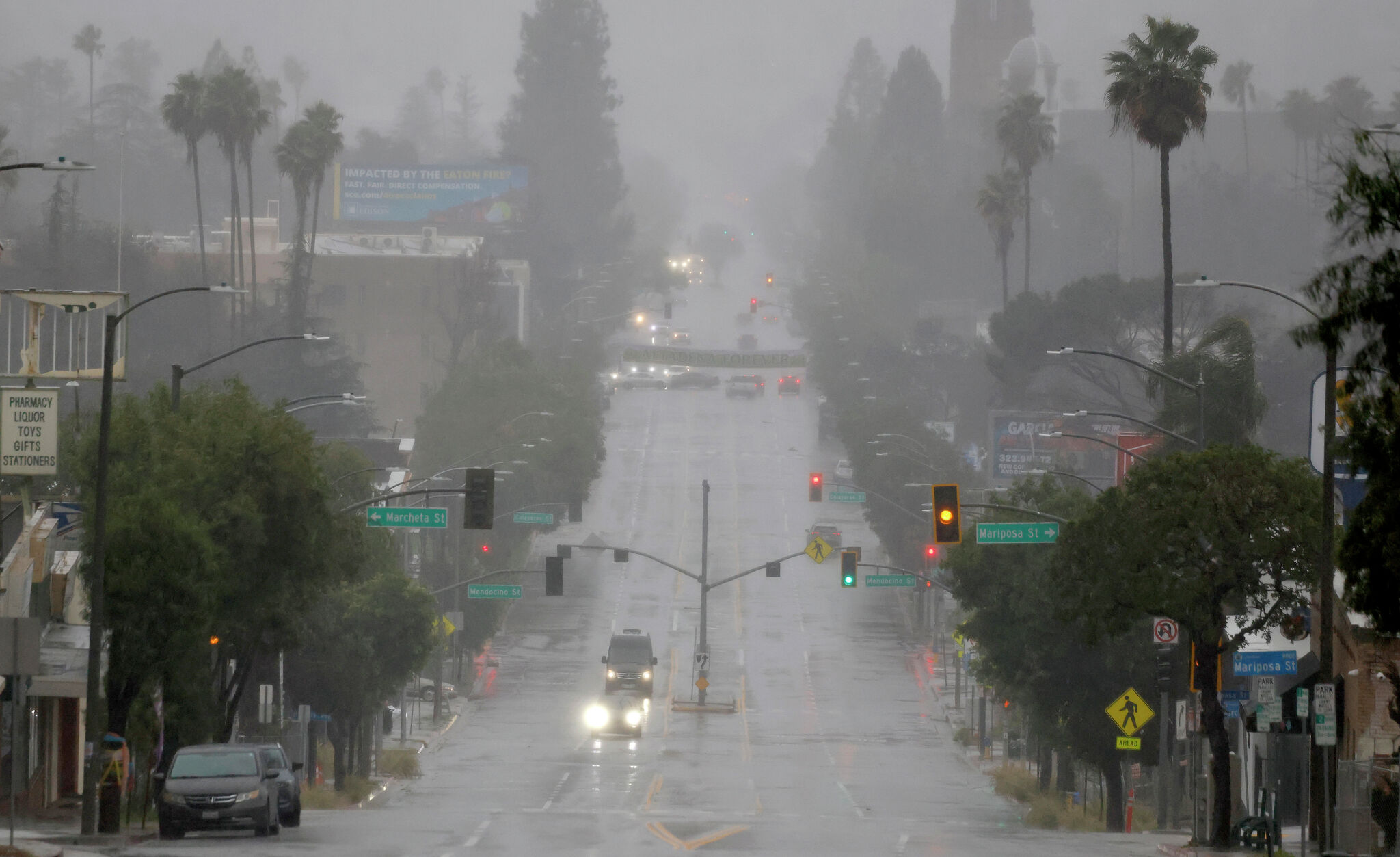

Motorists drive through water as a storm delivers heavy rainfall around Altadena (Los Angeles County) in February. This winter, El Niño could deliver extra rain relatively early in the season in Southern California.


California’s winter prospects are unusually wet as the potentially historic El Niño looms, and the latest forecasts are starting to put numbers on what that could mean.
Along parts of the California coast, federal forecasters now put the odds of a top-third precipitation season as high as 50% to 60%. One of Europe’s leading seasonal models goes considerably further, projecting January rainfall around 4 inches above normal in San Francisco and more than 6 inches above in Santa Rosa.
An updated long-range forecast released Thursday by the Climate Prediction Center adds to mounting evidence favoring above-normal precipitation across California this winter. More importantly, the CPC and international weather agencies’ long-range models are building a consensus on when the wettest periods could be and how much precipitation may fall.
Article continues below this ad
How wet might it get?
The CPC gives much of California a greater-than-usual chance of a very wet winter. For the January through March period, those odds range from 47% around Santa Rosa to more than 60% around Sacramento and Southern California.
In this forecast, a “top-third” (i.e. very wet) season simply means receiving more precipitation than two-thirds of January-through-March periods from 1991 to 2020. In San Francisco, for example, that requires at least 13.53 inches of rain. The CPC puts the chance of reaching that mark this winter at 57%.
When does it look like it will be the wettest?
We see a bit of a split in when the wettest periods could be across the state.
Article continues below this ad
The wet signal emerges earlier in Southern California, where the seasonal guidance favors wetter conditions in November and December. But it shouldn’t take long for the rest of the state to catch up. Nearly all of the models indicate widespread wetness from January to March.
The European Centre for Medium-Range Weather Forecasts’ seasonal model, known as SEAS5, runs its forecast 51 times, each starting from slightly different conditions. Averaging those runs gives a more useful picture than any single one.
January clearly stands out as having some of the largest positive precipitation anomalies across California, with the highest departures from the model’s normal located along the coast.
During January, the model’s average forecast calls for about 6.3 inches of rain above its normal around Santa Rosa and 4 inches above around San Francisco. Roughly three-quarters or more of the model’s 51 runs show a wetter than normal January across the region, including 76% around Santa Rosa and 80% around San Francisco.
Article continues below this ad
What about the Sierra?
Snow is harder to forecast months out than rain. How much falls depends not just on how wet the winter is but on how cold the storms are.
The wet part looks likely. The CPC gives the Sierra a 40% to 50% chance of a top-third season in precipitation from January through March, lower than the coast but still a clear wet signal.
The European model backs that up. From January through March, its average forecast calls for precipitation about 7 inches above normal around Lake Tahoe and about nearly 5 inches above normal around Mammoth Lakes. That precipitation number does not distinguish between rain and snow. The confidence is high, with over 80% of the model’s 51 members showing a wetter than normal January through March period in both locations.
Whether that falls as snow is the open question. A warm winter could push the snow line above the mid-elevation resorts. A cold one could bury them.
Article continues below this ad
Uncertainty
None of this is a prediction of specific storms. Seasonal outlooks describe the odds of a wetter or drier than normal season as a whole. They cannot say exactly when rain will arrive or how hard it will fall.
A 50% to 60% chance of a top-third season still leaves a 40% to 50% chance of something else, including a near normal or even a dry winter.
That said, sea surface temperatures in the eastern equatorial Pacific have climbed more than 3 degrees Celsius above average, and the CPC gives this El Niño a 75% chance of exceeding every event since 1950. Stronger El Niños make their characteristic impacts more likely, and for California that tilts the odds toward a wet winter. But federal forecasters are explicit: More likely doesn’t mean guaranteed.
Article continues below this ad










Leave a Reply