
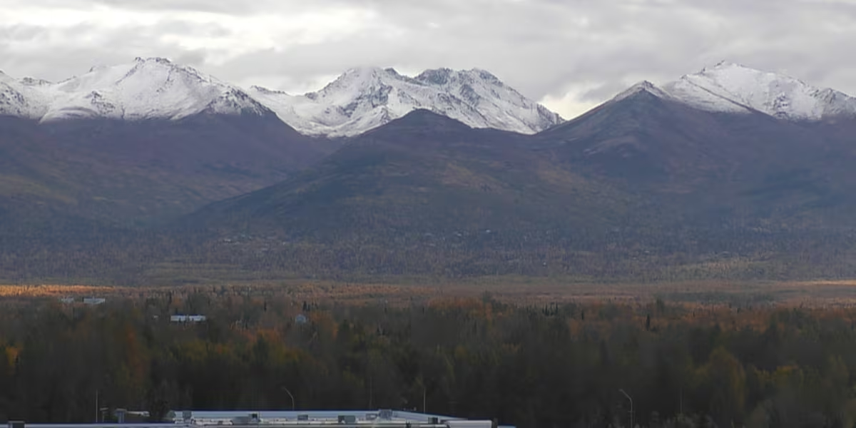
ANCHORAGE, AK (Alaska’s News Source) – Temperatures are trending down as we inch closer to the weekend. Highs in the Interior and Southcentral Alaska are dropping nearly 10 degrees through the next days with even colder temperatures in store for the overnight hours.
Anchorage will likely see the first official freeze of the season by week’s end while Fairbanks’ low temperatures cool to the 20s by midweek.
As you plan for your Tuesday in Southcentral, wet weather is kicking off the morning from Anchorage to the Matanuska and Susitna valleys, giving way to snowcapped peaks after showers have tapered off.
While showers remain on tap for your morning, partly cloudy skies are on the other side of wet weather for your Tuesday afternoon. These showers will stay north as the Kenai Peninsula stays dry, despite some morning cloud cover. High temperatures across the region will gradually cool from the 50s to the 40s as the week progresses with overnight lows actively inching closer to freezing each passing day.
Download the free Alaska’s News Source Weather App.
Interior Alaska and the North Slope are likely to collect some light snow accumulation through the late evening and early morning hours as low temperatures dip into the 20s for the two regions. Though Fairbanks will sit a bit too warm for snow, a light drizzle and cloudy skies will bring you a damp Tuesday with the highest chance of overnight snowfall Wednesday night into Thursday. High elevations could see 1 to 3 inches of snow which will remain possible Tuesday night into Wednesday and Wednesday night into Thursday.
The North Slope is another locations where snow is likely though the day and evening hours, especially with high and low temperatures hovering in the 20s. Anaktuvuk Pass will accumulate 0.5 to 1.5 inches of snow through the day today with another round of snow ahead into early Wednesday morning.
Send us your weather photos and videos here!
Southeast is off to a rainy stat to the week with another round of scattered rainfall through the day today and lighter showers for the region Wednesday. Rain totals for much of the region will climb to 0.1 to 0.2 inches, while Juneau southward will see 0.2 to 0.5 inches of rainfall. Wet weather will stick with your from today through Wednesday as we continue to track the potential of more showers arrive to close the week. While temperatures are dropping in the majority of the Last Frontier, Southeast sits out of the way of Arctic air impacts, so temperatures will remain near 50 degrees through the next several days.
Western Alaska is holding onto cloud cover as another cloudy day is in the forecast. Kotzebue down to Dillingham will see partly sunny to mostly cloudy skies while the Seward Peninsula sees a little extra sunshine through your Tuesday. High temperatures are cooling down to the low 40s through most of the region as the impacts of Arctic Air stretch into the western coastline. Dry weather remains into Wednesday with light showers from Cold Bay to Saint George on the Aleutian Chain.
Copyright 2026 Alaska’s News Source. All rights reserved.










Leave a Reply