
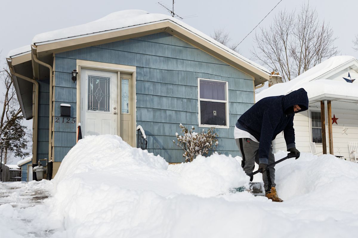
It’s still summer, but a potent El Niño is taking center stage, and meteorologists and scientists are looking ahead to what that might mean for the nation’s winter weather.
El Niño can have a number of effects on winter weather in the U.S. It tends to lead to wetter-than-average conditions across the South and less snow around the Great Lakes, interior New England and Pacific Northwest. But its effects could be particularly noticeable this year.
The El Niño developing along the equator in the Pacific is forecast to be “very strong,” possibly among the strongest in modern record, according to the National Oceanic and Atmospheric Administration.
Stronger El Niño events tend to have greater interactions with other strong planetary climate forces and bring surprises to winter weather, scientists say.
The end result: El Niño’s record-breaking force could enter a chaotic dance with another wintertime powerhouse: The polar vortex.
What is the polar vortex?
The polar vortex is a wintertime phenomenon, a large area of cold air high up in our atmosphere that normally spins over the North and South poles (as its name suggests). The vortexes over both the Arctic and Antarctic form in the fall when temperatures begin to cool.
The polar vortex above the Arctic is linked to the jet stream. Both can be impacted by El Niño, and bring about changes in our weather patterns, said Darryn Waugh, a professor in Earth and Planetary Sciences at Johns Hopkins University.

The stratospheric polar vortex interacts with the polar jet stream and with the phases of the El Nino/La Nina pattern to influence weather in the Eastern U.S. and Europe.
How does El Niño interact with the Arctic polar vortex?
El Niño drives changes in the high- and low-pressure patterns in the troposphere, the lowest layer of Earth’s atmosphere where weather happens, said Amy Butler, a physicist at NOAA’s Chemical Sciences Laboratory.
The strength of the polar vortex is vulnerable to the large ridges and troughs that form in lower levels of the atmosphere and influence how the jet stream moves. When it gets disrupted, it can help funnel unspeakably cold air into locations in the Eastern U.S. Changes in the patterns can also influence precipitation.

Sea surface temperatures in the El Niño region have climbed this year, setting daily records for weeks, according to NOAA data, as an El Niño strengthens along the equator in the eastern Pacific.
Generally, a strong polar vortex is good news for winter weather haters out there. A weak polar vortex, conversely, often means cold air can funnel south from the Arctic into the central and eastern U.S.
Scientists do not yet fully understand the relationship between El Niño and the polar vortex, said Judah Cohen, a polar vortex expert at MIT. The science is still uncertain on how the patterns interact and the relationships between the patterns aren’t particularly strong, Cohen said.
El Niño tends to weaken the vortex in mid-to-late winter and can increase the chances for sudden warming events in the stratosphere, Butler told USA TODAY in a recent email. The sudden warming has a downward impact on the surface that can last for several weeks, Butler said. These impacts reinforce surface temperatures and weather patterns over the U.S. and Europe.
Winter impacts uncertain
Scientists can’t say definitively at this point exactly which regions of the U.S. might be influenced by El Niño’s dance with the polar vortex, the jet stream or the other patterns in the atmosphere.
They know that El Niño tends to cause more of the waves that disrupt normal weather patterns and weaken the polar vortex.
If the polar vortex remains strong this winter, it will be an overall mild winter, regardless of El Niño, except possibly along the West Coast, Cohen said.
But if a weaker polar vortex buffeted by El Niño’s influence is associated with sudden warming in the stratosphere, Cohen said it could bring a repeat of events such as the severe winter weather in the mid-Atlantic in 2019-2020.
El Niño’s effect on winter weather also is associated with other global patterns that can bring influence regional weather patterns in the U.S.
Winter impacts uncertain
Specifics about which regions of the country could see the coldest, driest or snowiest weather remain hard to pin down. In some cases scientists can say with confidence that when one thing happens, another thing always happens, said Waugh. That is not the case with the interactions among the jet stream, the stratospheric polar vortex and El Niño. “It’s when this happens, there’s an increased probability that something will happen.”
The other point scientists are raising is that if this El Niño indeed proves to be historically strong, its effects on the larger atmosphere remain a big question mark, said Ben Kirtman, dean of the Rosenstiel School of Marine, Atmospheric and Earth Science at the University of Miami.

U.S. maps show precipitation anomalies during 26 El Niño winters since 1950.
“This is an El Niño superimposed on top of a pretty big climate change signal,” Kirtman said. “We don’t have a clear understanding how that changes the teleconnections, those relationships. That’s an open science question.”
Doyle Rice and Dinah Voyles Pulver are national correspondents with USA TODAY, specializing in weather and climate. Reach Rice at drice@usatoday.com and Pulver at dpulver@usatoday.com.
This article originally appeared on USA TODAY: El Niño could reshape winter weather and dance with the polar vortex







Leave a Reply