
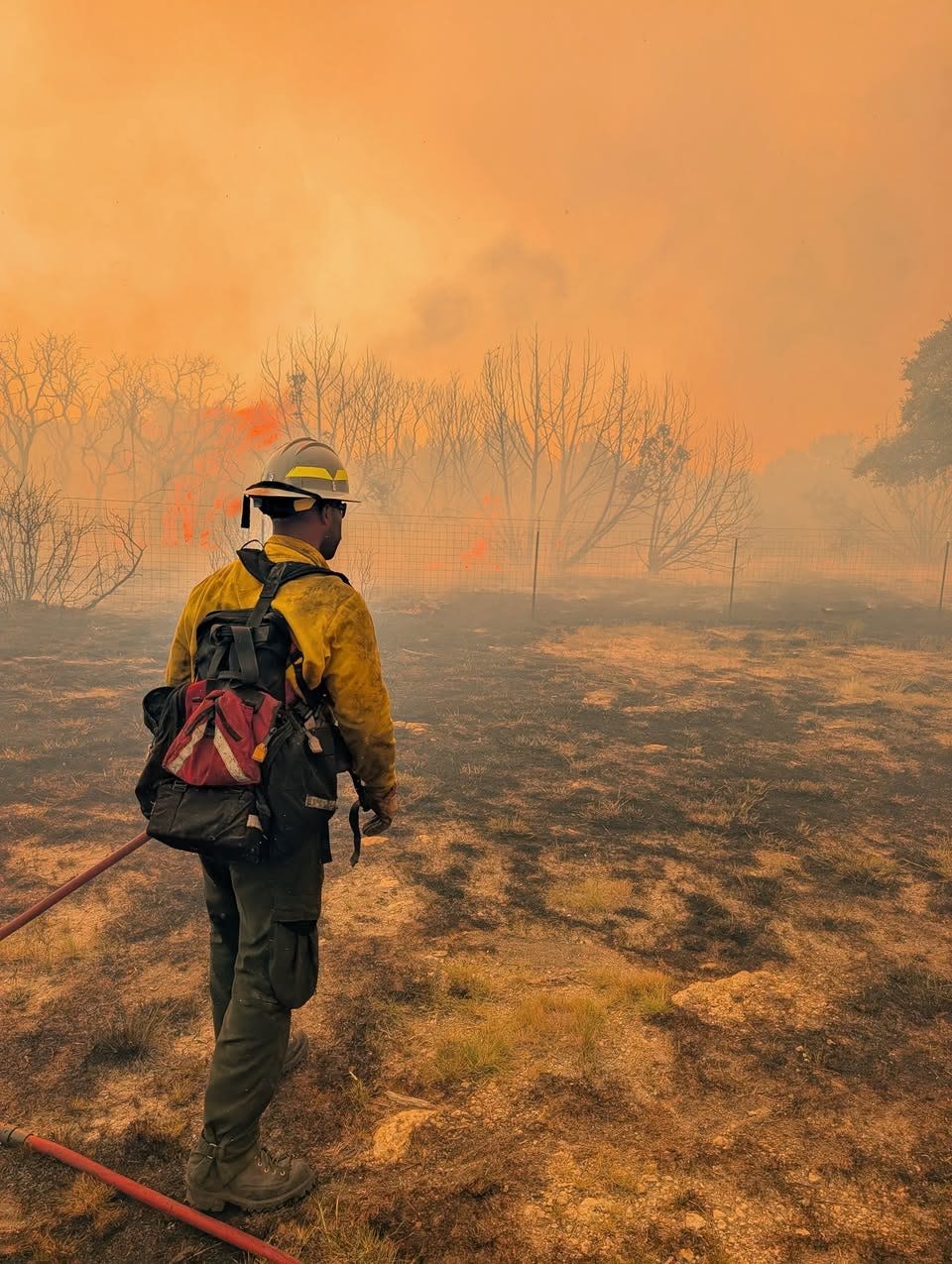
Wildfires continue to burn across Texas as firefighters battle the massive Ross Fire in North Texas and crews respond to elevated fire danger elsewhere in the state. Hot, dry conditions and abundant grass and brush have helped fuel rapid fire growth, with some areas remaining vulnerable to new ignitions.
The Ross Fire, which began Aug. 24 near Highway 180 in Palo Pinto County, has burned more than 90,000 acres, making it one of the largest wildfires in Texas history. The blaze remains active and was 31% contained as of Sept. 1, with firefighters from outside Texas joining the response.
The fire has damaged or destroyed structures and prompted road closures and evacuations in parts of Palo Pinto and Jack counties. Crews continue working to strengthen containment lines and protect communities as conditions remain challenging.
Texas wildfire smoke map tracker
Where is the Ross Fire?
The Ross Fire sparked just west of Palo Pinto, a small unincorporated town about 80 miles west of Fort Worth.
Texas weather watches and warnings
Stay informed. Get weather alerts via text
Brandi D. Addison covers weather across the nation as the Weather Connect reporter for the USA TODAY Network and contributes to Texas Connect coverage across the state. She can be reached at baddison@usatodayco.com. Follow her on Facebook here.
This article originally appeared on USA TODAY: Ross Fire grows to 90,000 acres. See wildfire tracker and smoke map











Leave a Reply